Transforming Terrain with Precision Data
While survey-grade LiDAR and advanced photogrammetry serve as our foundational entry services, Levity Creations extends far beyond raw data capture. We transform initial drone acquisitions into immersive digital twins and comprehensive spatial intelligence for land professionals across Hawaii.
Geospatial & Analysis
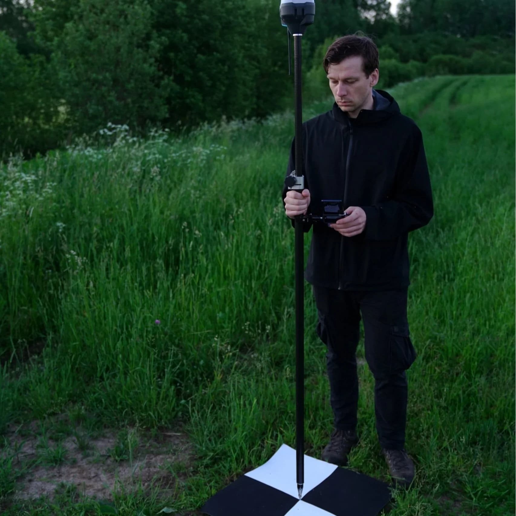
Survey-grade reality capture acting as a force multiplier for land professionals. Achieving global accuracies of 2–3 cm, our aerial LiDAR penetrates dense tree canopies and brush to capture ground elevations that are otherwise inaccessible or unsafe for traditional ground crews.
Visualization & Communication Design
We manage the transition from raw data to immersive narrative. By integrating LiDAR and photogrammetry into real-time engines, we transform technical data into cinematic fly-throughs and data-accurate digital twins, moving projects from abstract concepts to stakeholder-ready visualizations.
Digital Media & Interactive Experiences
A land project is not a static event; it requires a robust Digital Infrastructure to manage its lifecycle. We develop custom websites, investor portals, and AI-assisted knowledge bases that serve as the permanent digital record of a project.
Explore Our Intelligence Domains
Terrain, Hydrology, Vegetation, Biospheric Context, and Digital Twin Simulation — each domain represents a category of data that can be captured, analyzed, modeled, and simulated to deliver complete environmental intelligence.
View All Domains & Deliverables →Service Tiers
| Feature | Basic Aerial Data | Advanced Predictive Models |
|---|---|---|
| Data Types | Color LiDAR, DEMs, Orthomosaics | Digital Twins, Simulations, AI Analytics |
| Analysis | Contours and Basic Mapping | Hydrology, Growth Modeling, Risk Assessment |
| Decision Support | Documentation & Baseline | Scenario Testing & Risk Mitigation |
| Goal | Accurate Project Foundations | Long-term Foresight & Strategy |
Industry Solutions
Real problems. Proven solutions. Tailored to your discipline.
Developers & Civil Engineering
Unknown terrain constraints causing costly mid-project redesigns.
Rapid due diligence using high-accuracy topography and slope analysis.
Inaccurate earthwork estimates leading to budget overruns.
Optimized grading and precise cut/fill calculations from survey-grade LiDAR.
Difficulty communicating complex vision to regulators or investors.
High-fidelity visual assets and interactive 3D walkthroughs for entitlement support.
Restoration & Conservation
Obscured ground data in heavily vegetated or remote sites.
Aerial LiDAR penetration for accurate bare-earth models and drainage mapping.
High risk and uncertainty in "what-if" restoration scenarios.
Predictive simulations of water flow, erosion, and successional vegetation growth.
Need to prove project impact and ecological ROI to funders.
Data-driven visualizations and temporal change detection mapping.
Licensed Surveyors
Hazardous or inaccessible rugged terrain limiting field capacity.
Drone-based LiDAR acquisition that eliminates the need for cutting sight lines or traversing dangerous slopes.
Time-intensive manual drafting of complex site features.
Automated feature extraction and CAD-ready planimetric vector drawings.
Limited capacity to take on large-scale topographic or corridor projects.
A technical partnership for high-density point cloud acquisition and processing.